New Snow in the Alps Nears Metre Mark
New Snow in the Alps Nears Metre Mark
Published : 12-Mar-2019 09:46

The heaviest snowfall in the Alps for two months has led to resorts reporting up to 98cm of fresh snowfall in the past 7 days, and some as much as 90cm (three feet) in the past 72 hours.
Switzerland, and particularly the Valais region, has reported the biggest accumulations with Anzere posting those biggest numbers but Les Marécottes – Salvan not far behind with 94cm in the past week, most of it since the weekend.
Galtur, on Austria's Swiss border, has had the most snowfall in Austria with 85cm (60cm since the weekend).
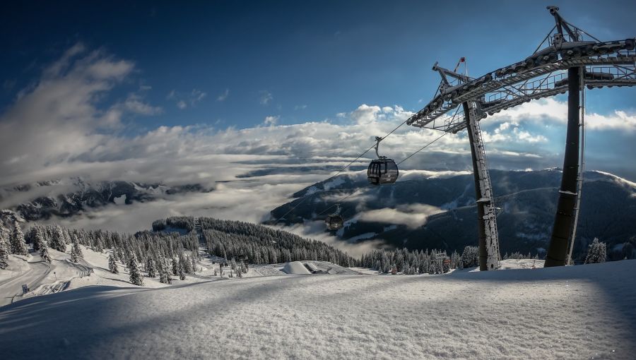
In terms of the well-known resorts Davos has had 63cm (50cm of that since Saturday) and Verbier 55cm (45cm since the weekend). At Kaprun there's been 65cm and at Saalbach (pictured top) 60cm.
Most other ski areas in the Alps, including in France and Italy, have had at least some fresh snow and many good accumulations, if not quite so much as the areas mentioned above.
The weather overall is very changeable and very varied across the region, going from thawing plus temperatures and rain at valley level in some lower areas to double digits below freezing on mountains. The snowfall has brought periods of low visibility and there have been very strong winds at times too.
Moderate to heavy snowfall is expected throughout the rest of the week with a weekend lull and then (although forecasts become less certain the further off you look) it currently appears more heavy snowfall will arrive at the start of next week.
Andermatt, which posted the deepest base in the world for most of this season at 6 metres, until it was overtaken by Squaw Valley late last week, is forecast to receive more than a metre more snow.
Join the conversation : Discuss this in the J2Ski Forum (3 comments so far)
This news item has been viewed 5,235 times.
Also on J2Ski :- Saalbach Hinterglemm Snow Forecast Ski Hotels Ski Hire Ski Holidays