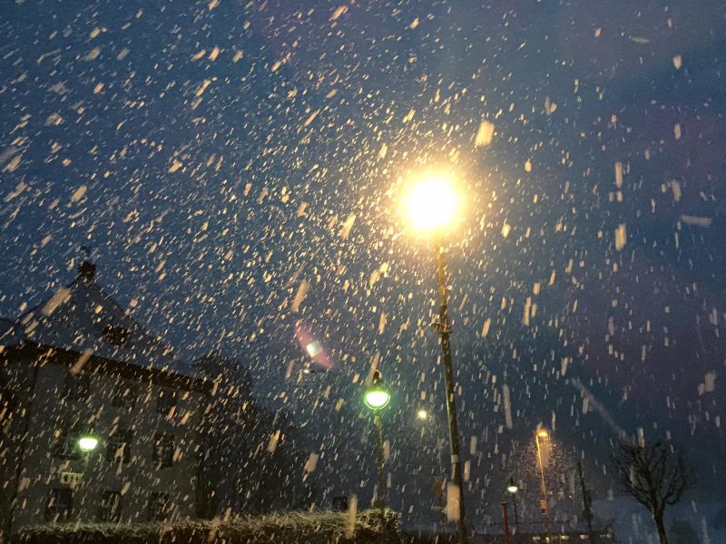
Snow Starts Falling Again in the Alps
Snow Starts Falling Again in the Alps
Published : 28-Feb-2017 11:31

The first of what is expected to be 'significant' snowfall in the Alps over the next 48 hours has been reported in many ski areas this morning.
The first 'powder alarms' for 20cm (or more) of snow in 24 hours were issued this morning by ski areas on the swiss side of the giant Portes du Soleil ski region which reported 25cm/10 inches of fresh snow overnight.
The picture above was taken first thing this morning in resort at Engelberg.
Snow forecasts of 30-40cm have also been issued for resorts including Chamonix, Megeve and Tignes in France as well as Western Italian ski areas including La Thuile, Gstaasd in Switzerland and the Pitztal glacier in Austria.
The numbers being forecast now look to be slightly down on the 50-70cm of snow predicted for the coming two days back at the weekend. As usual higher slopes will see the most snow.
Similar snow totals are also expected down in the Pyrenees at the same time with 30-40cm forecast for resorts like Astun and Formigal in the Spanish Pyrenees on Wednesday and Thursday.
The new falls follow 10-30cm of snow reported at many areas in the Eastern Alps, particularly in Austria, at the end of last week.
They also appear to mark the start of unsettled weather through the first week of March with multiple fronts of precipitation-bearing clouds expected across Europe.
Join the conversation : Discuss this in the J2Ski Forum
This news item has been viewed 6,395 times.
Also on J2Ski :- Tignes Snow Forecast Ski Hotels Ski Hire Ski Holidays